
|
|
#1
 15th January 2011, 11:56 PM
|
||||
|
||||
|
Just thought I'd share with you, for those who haven't heard or come across this yet; nearmap.com... It is an Australian-based online mapping company that boasts five-times the resolution of the imagery found on Google Earth/Maps. The detail is amazing. You can make out whether your car is in your driveway or not!
And having a look at Sydney and Melbourne airports you can certainly notice the difference! Here are a few screenshots I've taken as an example, but have a look at the site for yourself - they're crystal clear, zoomed right in... Bit of a size comparison: A380 (which looks like it's right on pushback - aerobridges withdrawn / tug in place) vs B747 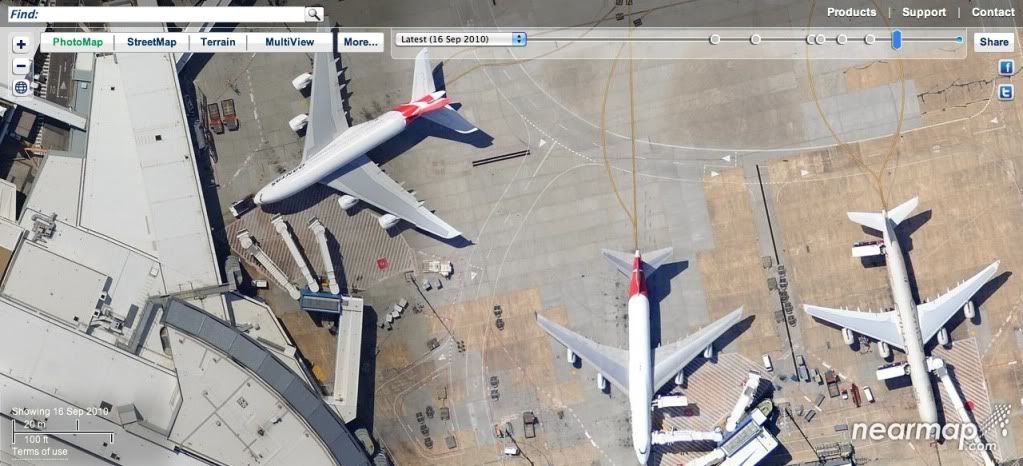 A lineup showing the length of the B777-300ER and A340-600 side by side 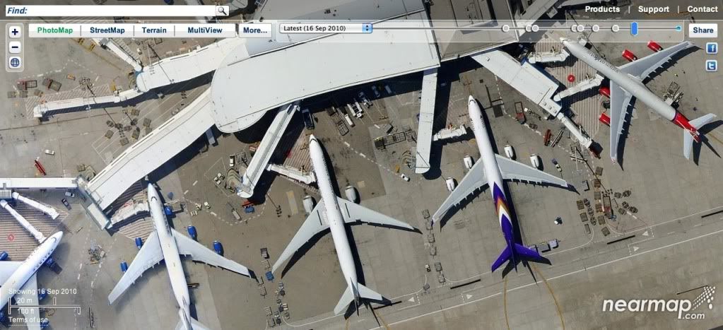 And this is T2 at Melbourne Airport with a slightly angled view, available by clicking on the 'Multi-view' tab 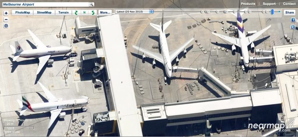 You can also select dates further back in time when the imagery was taken to watch construction of certain things taking place, etc. They have also uploaded the latest aerial view of Brisbane showing flood-affected areas, at the request of the Queensland authorities, to help with identifying the most flood-stricken areas. 
|
|
|


 Threaded Mode